Old Maps of Hollis
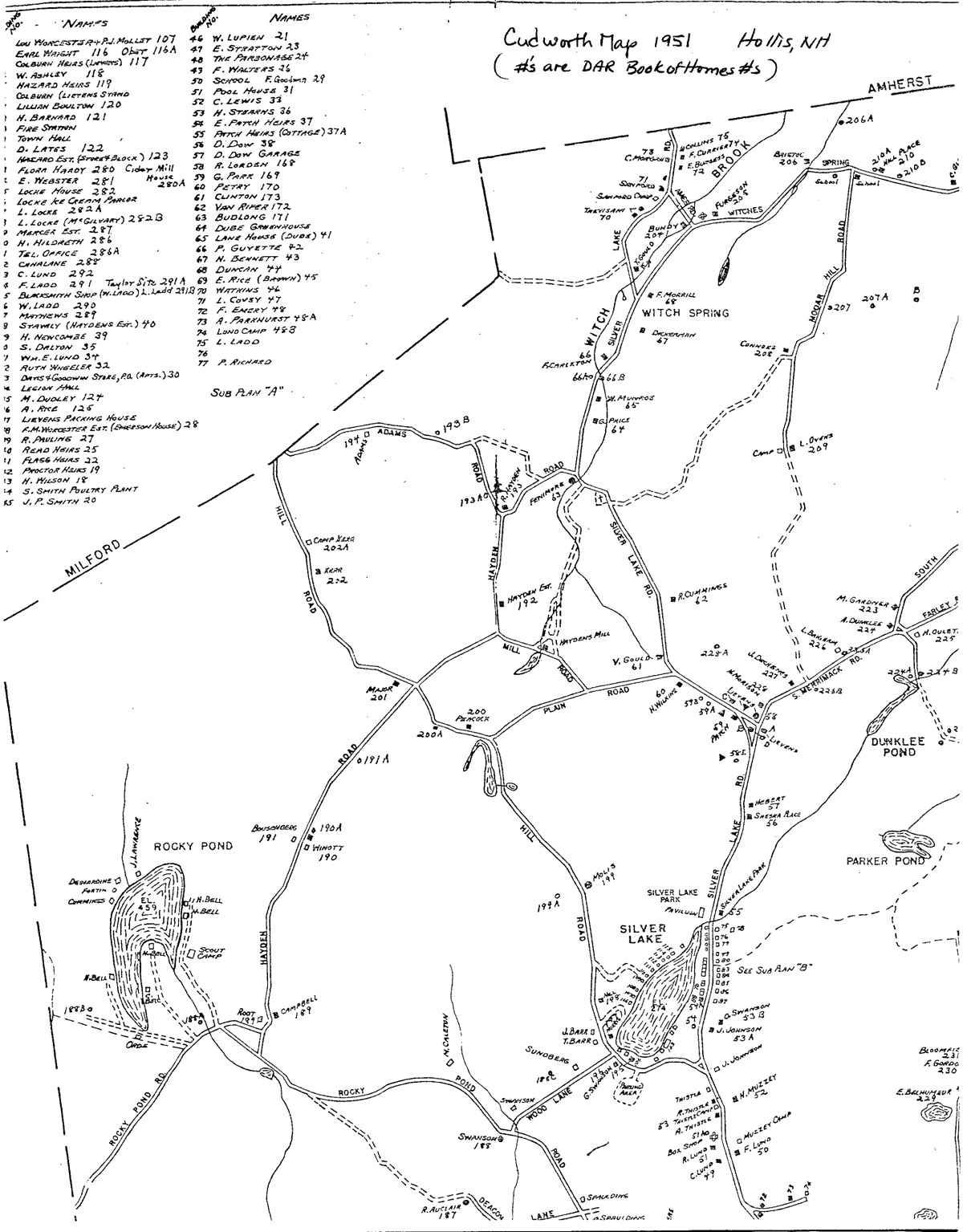
This project is greatly indebted to C.A. Cudworth, the creator of the
Cudworth map, 1951. It is shown here in quadrants to enable examining
the numbers keyed to the “DAR History of Homes”, the basic history
used here.
Priorities of historic properties to map using GPS were made by the Heritage
Commission based on Cudworth’s map and the DAR history as the most
recent information available. It was hoped to update information in the
50 intervening years. Differences between the GPS digital map and the
Cudworth map are caused by “drive by” survey of the Cudworth
mapping and the more precise ability of GPS technology. The exact longitude
and latitude which were used to position the icons on the digital map
are recorded and can be reclaimed on need in the future to find buildings
and sites which have and will be lost.
|
Cudworth Map (1951)
|
E.J. Colburn
Map Click for full-sized map
|
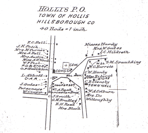
1892 Hollis Center Map
|
||||
| 1892 Hillsborough County
Map Click for full-sized map 
|
1877 A.S. Chandler
Map Click for full-sized map
|
1858 Wallings
County Map Click for full-sized map
|
||||
| 1761
Province Map Click for full-sized map
|
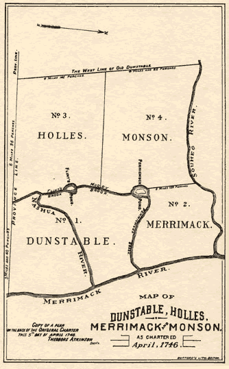
1746 Map
|
|